
By loading the video, you agree to YouTube's privacy policy.
Learn more

By loading the video, you agree to YouTube's privacy policy.
Learn more

Conveyor belt flow & belt misalignment, condition monitoring & wear
Gyratory | Jaw | Crusher Vault
Tertiary
Apron & plate feeder 2D level and material volume
Screendeck performance and material yield measurement
Chute blockage detection and material flow monitoring
3D silo volume measurement + rathole detection monitoring
3D dome volume measurement, material tracking and feeder control
3D stockpile scanning, quality model and automation
Train loadout productivity increase by automation
Waggon unloader automation and material tracking
Stacker Automation, incl. 3D pile monitoring & material tracking
Material quality control and tracking, blending automation
Reclaimer automation and collision avoidance
Level9 collision avoidance for underground vehicles & personnel
IPCC automation and heavy machine positioning solutions
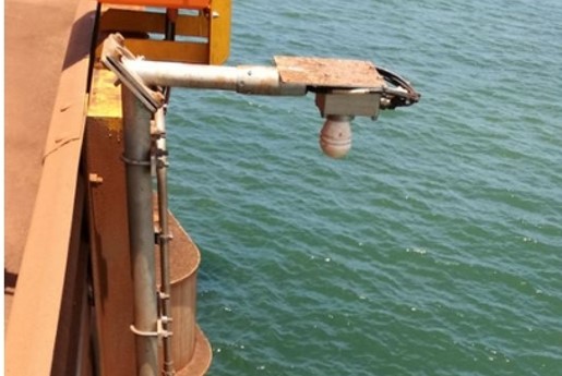
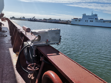
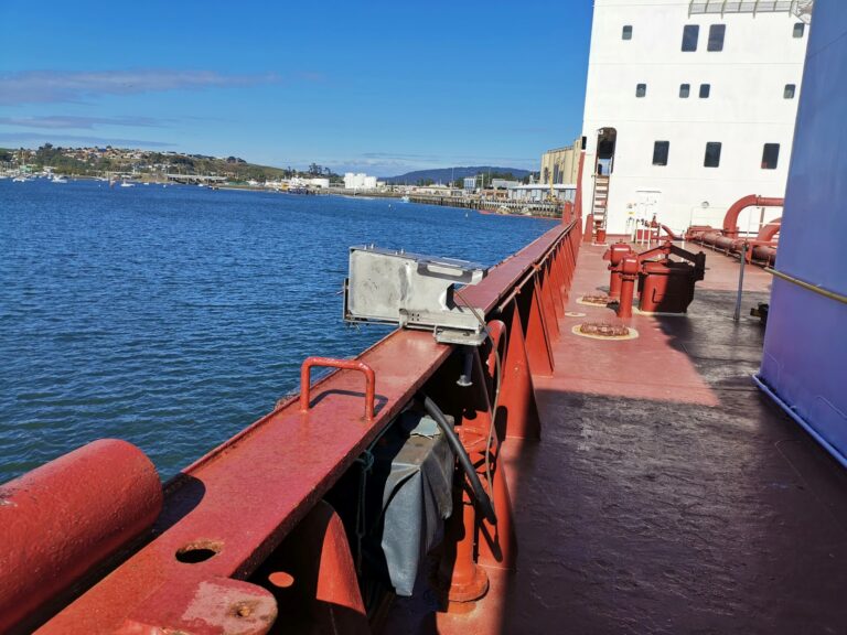
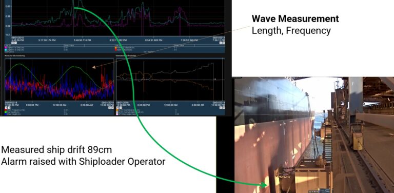
Shiploader collision avoidance, 3D hatch scan and full automation
Horizontal and vertical boom CAS, 3D hatch scan and automation
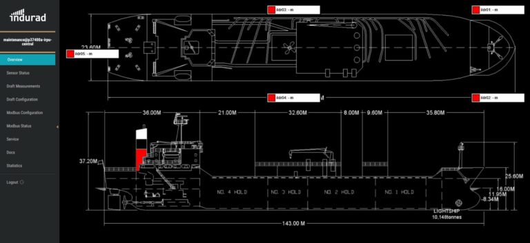
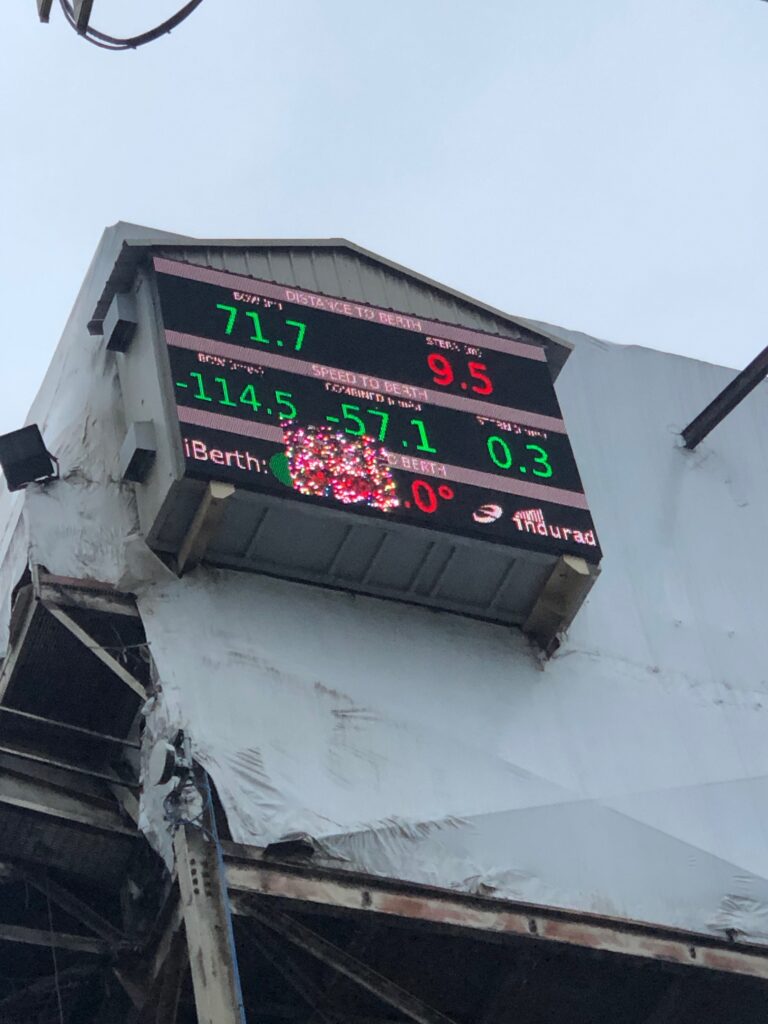
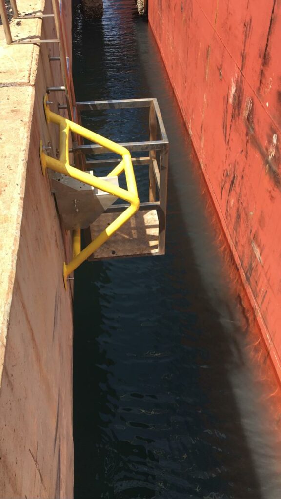
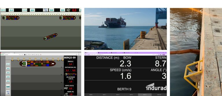
Vessel detection and ship guidance system for berthing operations
Monthly payments, subscription services
Project based implementation as capital expenditure


Diverse management team driving customer success.

Cross-industry partner network for sales and service - always close to the customer.

company success story and recent developments transforming mining.

Join the Indurad family and develop your career in an exciting environment.

Learn about new developments and the shows and conferences we attend.

The core DNA of indurad. Learn more about the publicly funded RnD.